Tephritis praecox
Tephritis praecox
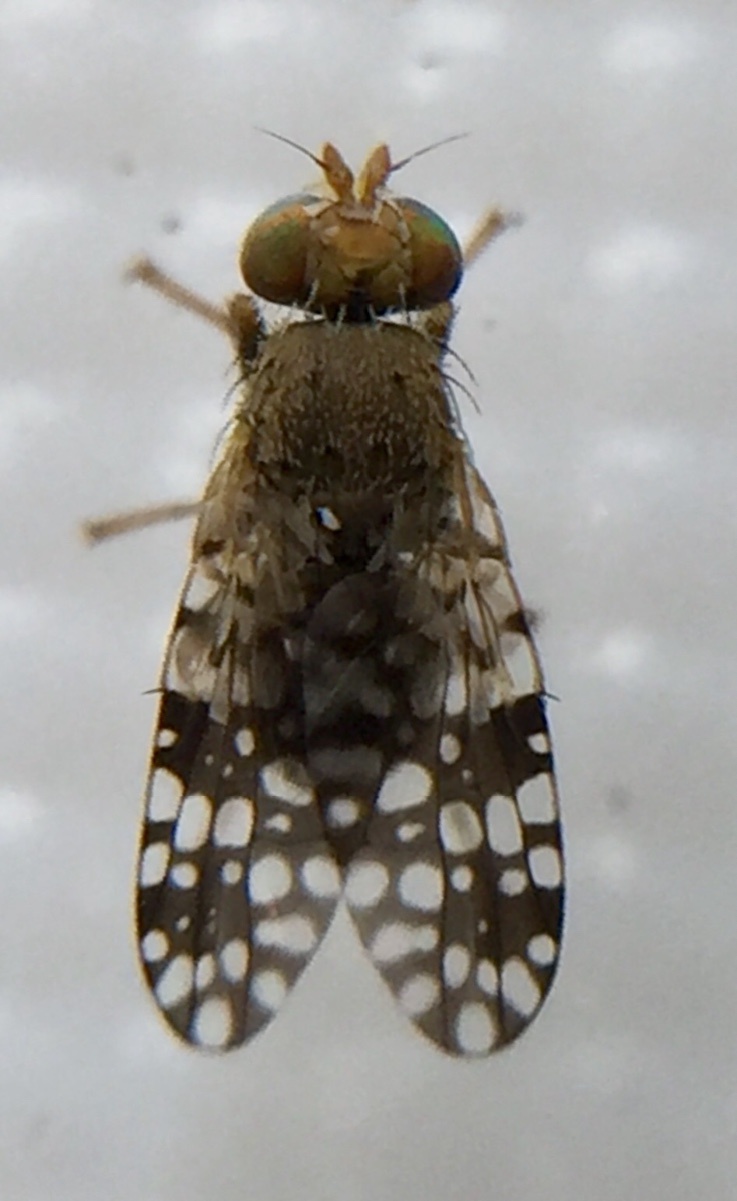
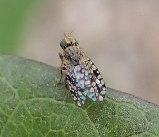
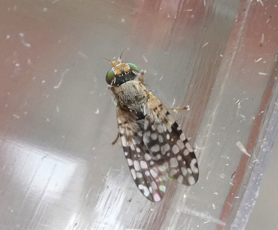
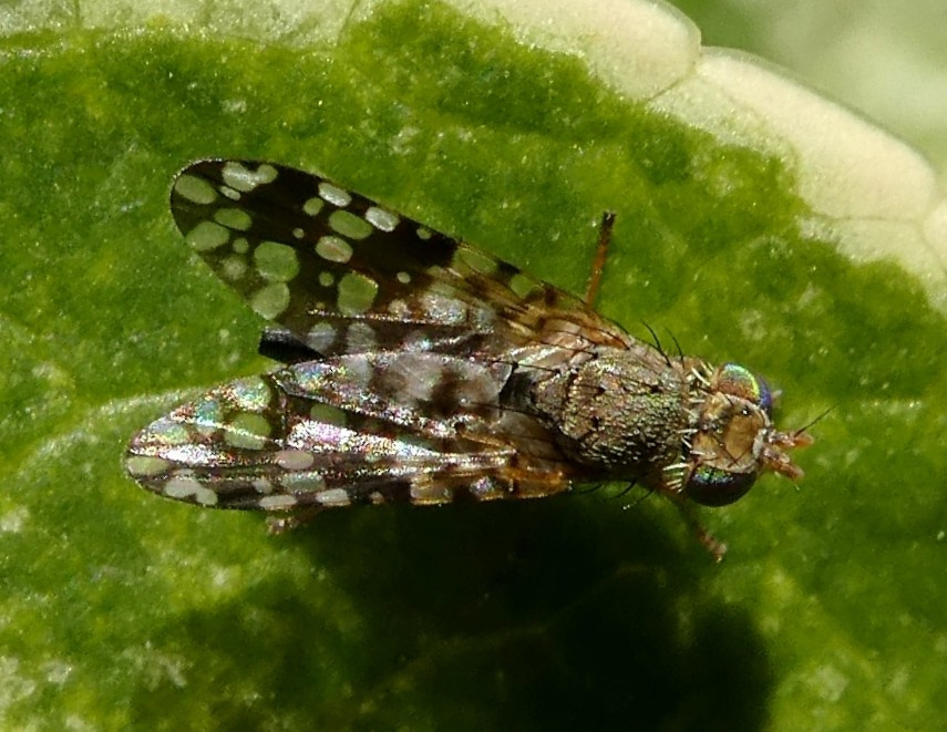
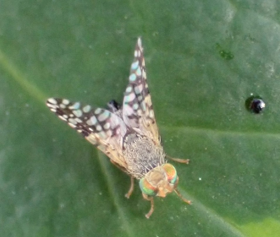
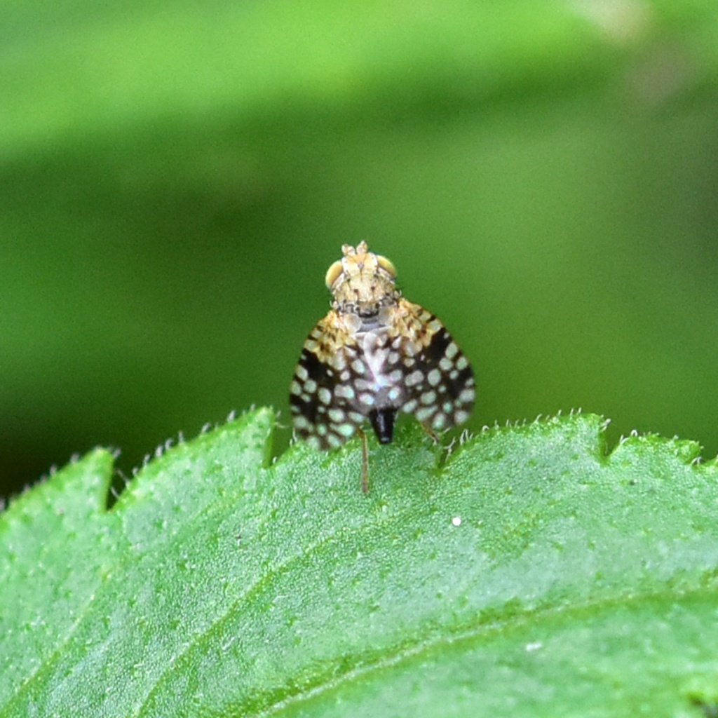
Wing Length 1.8 to 3.2 mm. Black oviscape. Legs orange with black marks on femora. Wing pattern is used in identification.

Unless identified by a recognised expert, a photo is required. If the photo doesn't show the key ID features then in the comments box describe the size and identifying characters you have observed.
The habitat preferences of this species are unclear. In Israel, it has been reared from field marigold (Calendula arvensis) and it has also been reared from Calendula species elsewhere.
The insect may be associated with composites related to field marigold (Calendula arvensis) or with garden plants or escapes (pot marigold, Calendula officinalis, would be the most likely host).
Red Data Book 1. There are old records from Mudeford, Dorset (undated) and Aldeburgh, Suffolk (1907) and these led to the species being regarded as a vagrant (Falk 1991). More recently, it has been found in a Malaise trap placed in a garden in Newhaven, West Sussex (Jones 2004) and it now appears to be established in Britain. Almost all the records to date have come from the south coast.
(The centre of its European distribution is the Mediterranean and it is known from the Canary Islands to Afghanistan, but it has recently spread to Austria and Switzerland.)
Virtually all the British records are from the south coast of England, however in addition to the record below another individual was found during a terrestrial invertebrate survey of land at Bardon Hill, Leicestershire during August & September 2008.
Falk, S.J. (1991) A review of the scarce and threatened flies of Great Britain (Part 1). Research & Survey in Nature Conservation No. 39. Nature Conservancy Council.
Jones, R. (2004) Tephritis praecox (Loew)(Diptera, Tephritidae) established in Britain. Dipterists Digest 11 (1): 16
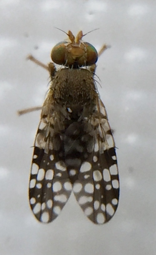 Dylan
Dylan
Melton garden
07 August 2022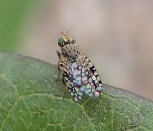 Kate Nightingale
Cropston garden
01 July 2024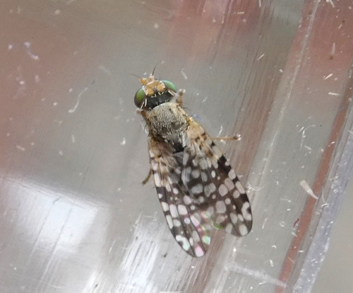 Kate Nightingale
Cropston garden
19 June 2019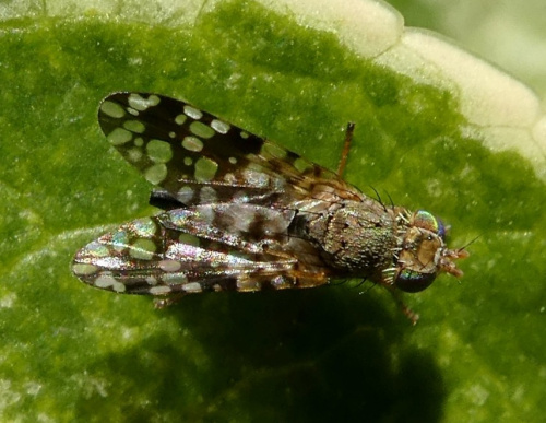 Kate Nightingale
Cropston garden
21 February 2019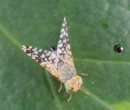 Kate Nightingale
Cropston garden
25 July 2025
female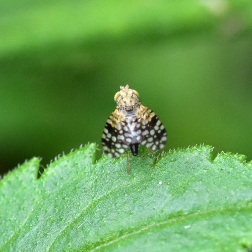 Andy's Rutland
Empingham garden
26 June 2019
Leicestershire & Rutland Map
Enter a town or village to see local records
MAP KEY:
Yellow squares = NBN records (all known data)
Coloured squares = NatureSpot records: 2025+ | 2020-2024 | pre-2020
UK Map
Additional images
No additional images available for this species.